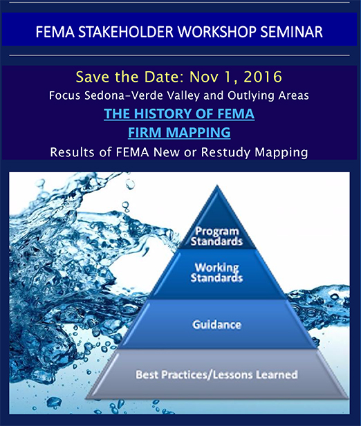
FEMA Stakeholder Workshop
Nov 1, 2016
Focus Sedona-Verde Valley and Outlying Areas
THE HISTORY OF FEMA | FIRM MAPPING
Results of FEMA New or Restudy Mapping
Learn Answers to these Questions and much more…
- The county’s responsibilities and interaction with the National Flood Insurance
Program. - Recent changes in Congress that affect properties in the flood plains.
- Ongoing studies and the schedule for them to become effective.
- Should I purchase Flood Insurance if I am not in a flood plain?
- On an individual property, would it be possible to get a letter that will satisfy a
lender to avoid the cost of flood insurance when my structures are out of the flood
plain but a portion of my property is impacted by the flood plain? - How often can new FEMA mapping be done? Why would it occur again?
- Why is it important that you know how FEMA Regulations may affect your
property? - Where do I go to find out where a property stands with respect to FEMA Firm
Mapping? - How much land in the Sedona Verde Valley is effected by FEMA FIRM Mapping.
How do I know what updated mapping has been completed and what is still
ongoing? - How accurate is the Yavapai County GIS FEMA Flood layers?
- Buildings that are in the PreFIRM Mapping.


